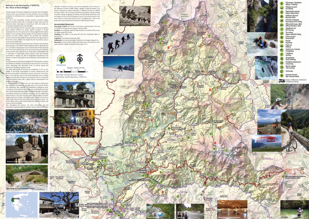


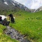
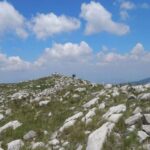
The geographical boundaries of the Municipality of Konitsa are dominated by the largest mountain masses in Greece, ravines, gorges, steep slopes, huge forests, rivers, alpine lakes that make up a natural landscape of incomparable beauty as well as a rich flora and fauna. This represents a milestone as well as a challenge for Konitsa and our wider region, an ever-evolving tourist area, where its natural and cultural heritage, as well as the attraction exerted by our unspoiled natural landscape, is the motivation for planning a sustainable policy that promotes the development of “alternative tourism”. It is noteworthy that a large part of the Vikos-Aoos National Geopark, established in 2010 and a world natural heritage monument recognized by UNESCO, is within our borders and occupies the northwestern part of the Pindos mountain range characterized by the rugged and impressive relief of its mountains. Smolikas (2637m), the second highest mountain in Greece, as well as Tymfi with its impressive Aoos and Vikos gorge are included in the boundaries of the Geopark. Also, an important network of our routes is part of the Epirus Trail, the largest single hiking route ever designed in Greece.

Konitsa – Davalista – Tymfi Plateau – Kerasia Trail – Konitsa
Διαβάστε περισσότερα
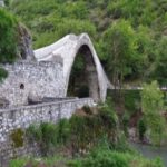
Konitsa Bridge-Stomio Monastery-Siadi Mygas-Limeria Klefton
Διαβάστε περισσότερα
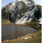
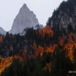
Palioseli – Mountain Refuge – Drakolimni – Smolikas Peak
Διαβάστε περισσότερα
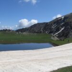
Pades – Drakolimni – Smolikas Peak
Διαβάστε περισσότερα
Agia Paraskevi – Drakolimni – Top of Smolikas
Διαβάστε περισσότερα
Baths of Amarandos-Kamenik
Διαβάστε περισσότερα